%20vector%20logo.svg)

Phone: 02 9453 9999 or Email: sales@pcte.com.au

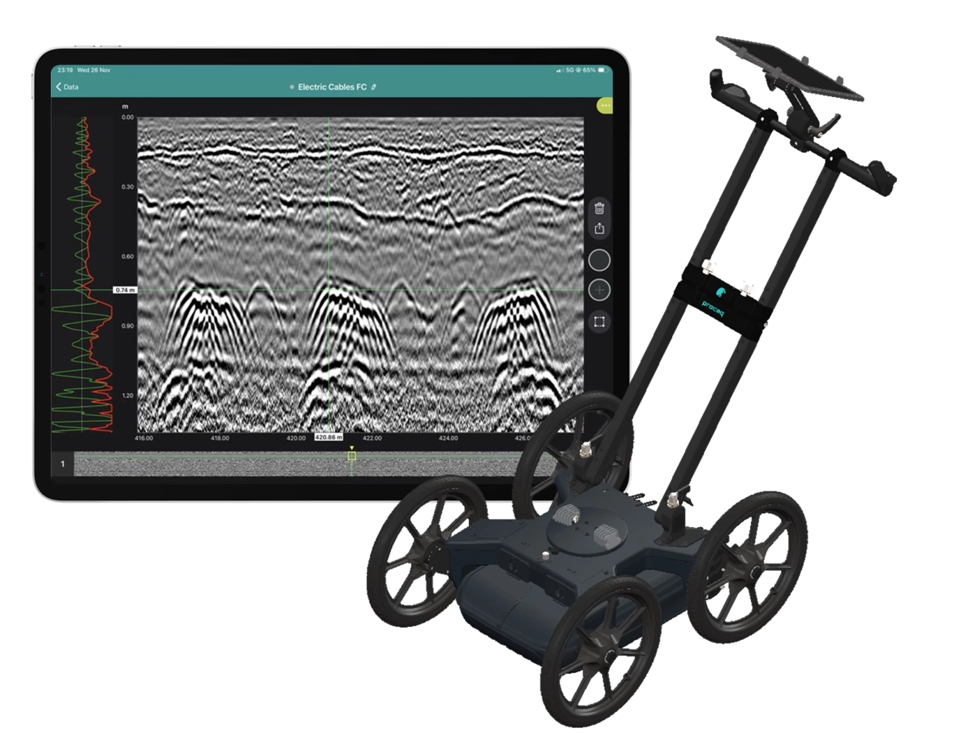
Screening Eagle Inspect software, now in its third major release provides one place for all of your inspection data to be stored and interpreted, with every data format linked to a location on your asset or structure.
Assets all over the world are ageing. The only way to allocate resources to the assets most in need we need tools to save time, improve efficiency, and give better feedback with undeniably relevant data.
The tradition of attending site with paper proformas, trying to collect and organise your visual and sensor data no longer makes sense.
Many engineers in the industry are looking for tools to assist with this extremely important task. Inspect ties inspection work to site in a database intended to be shared and worked in.
INSPECT is a comprehensive, cloud-connected software platform that seamlessly integrates into your inspection workflow – facilitating data collection in the field and reporting the way you and your customers like it in a fully digital, customisable and collaborative way.
After loading your 2D or 3D plan for the site, it is extremely easy to survey the site and add a spot which will include all of the information about a location on the plan including:
Tools like Assisted Capture (using the iPad camera to locate position inside) mean the inspector can quickly add detailed location of inspection SPOT locations.